MRNS Chandrasena
REGISTERED LICENCED SURVEYOR
/RS & GIS Analyst
BScHons (Surv Sc) (SUSL), MSc (UoC)
Professional Land Surveying Precision & Excellence
Advanced surveying solutions combining cutting-edge technology, expert analysis, and decades of professional experience to deliver accurate, reliable results for your property needs.
About Us
M.R.N.S. Chandrasena is a Leading Registered Licensed Surveyor/ RS & GIS Analyst in Polonnaruwa District. Has a Master's degree in Geoinformatics from the University of Colombo (2016) and a degree in Surveying from Sabaragamuwa University, Sri Lanka (2012). Land Survey Council Registration Number: 20172129 & Accreditation Certificate No: 2021G058. He is professional surveyor with more than 15 years of surveying experience in Sri Lanka.

Expert Surveying Services
Delivering precision, accuracy, and reliability across all your land surveying needs with state-of-the-art technology and professional expertise.
Establish clear property lines and dimensions with legally defensible boundary determinations for residential and commercial properties.
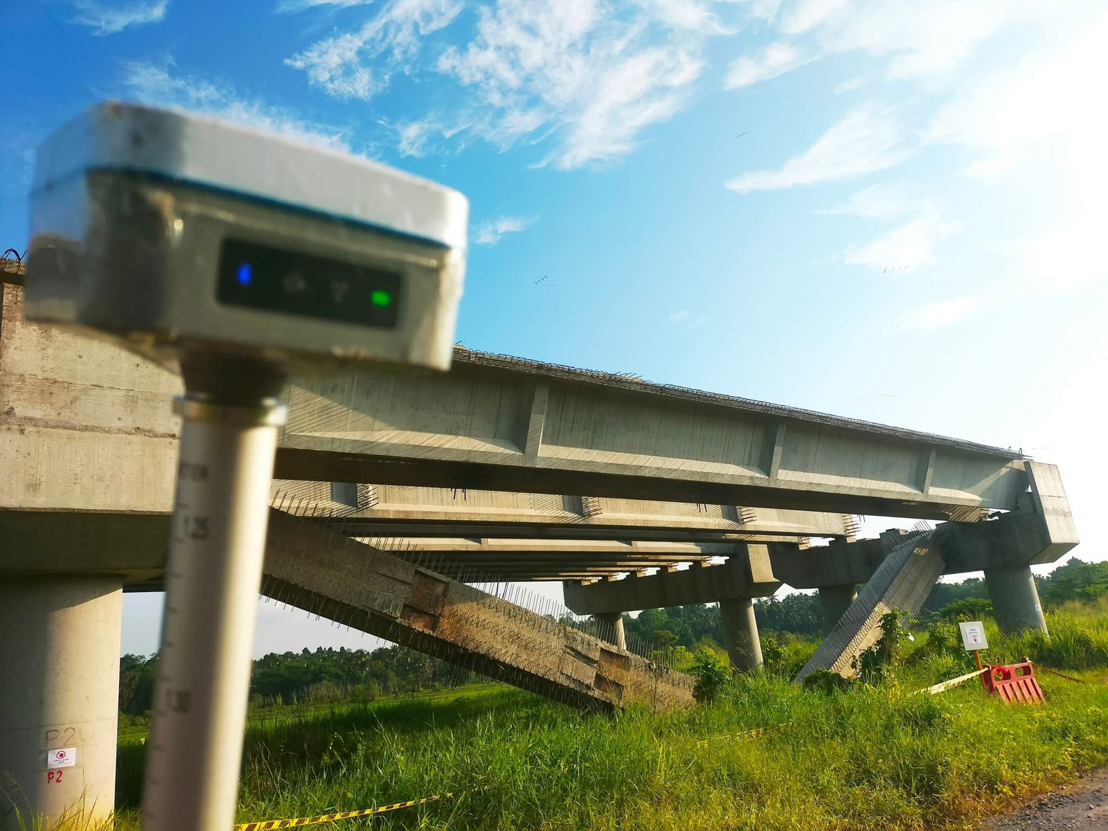
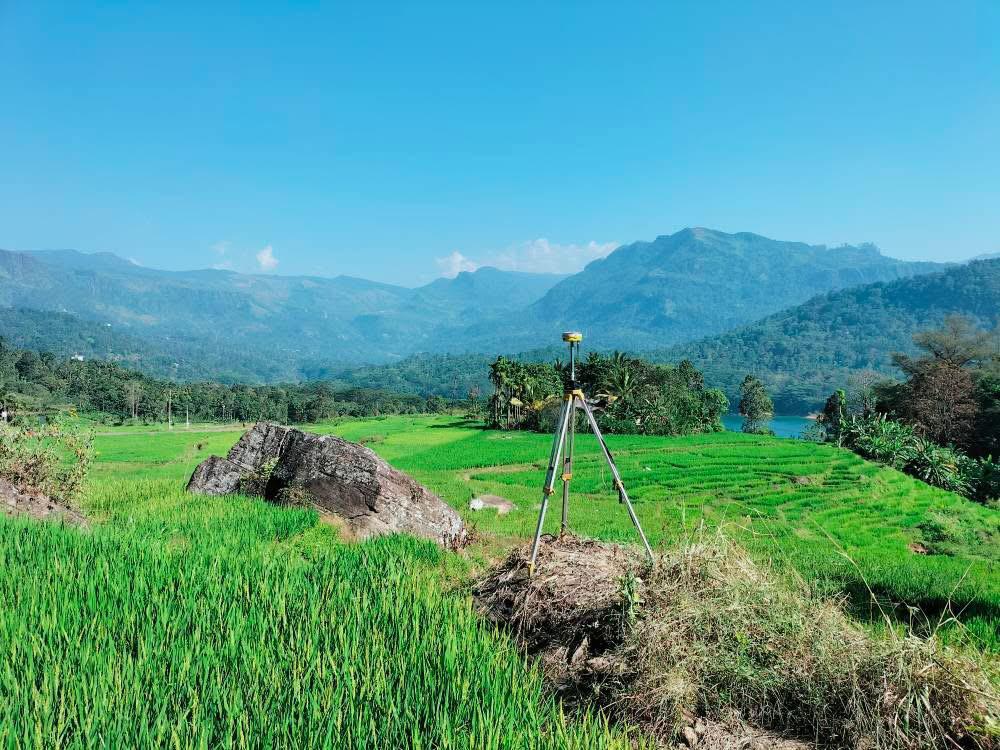
Create a comprehensive map of the property's terrain including elevations, slopes and natural features for planning and development.
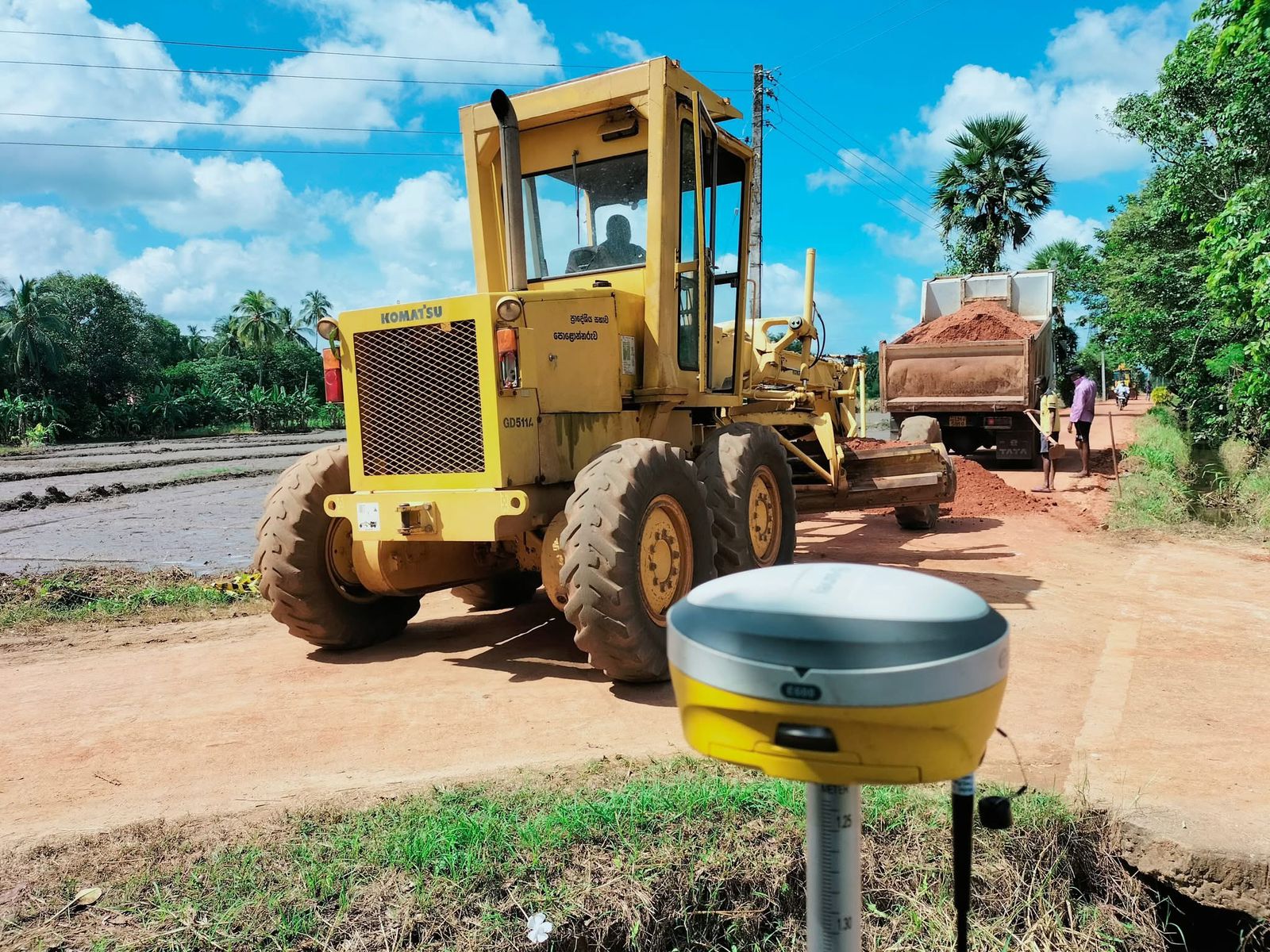
Construction Staking
Ensure new construction aligns with plans and specifications through precise layout and monitoring throughout the building process.
Meet industry requirements for commercial property transactions with comprehensive ALTA/NSPS certified title survey services.
Update existing plans to reflect changes made to the property with accurate post-construction documentation and verification.

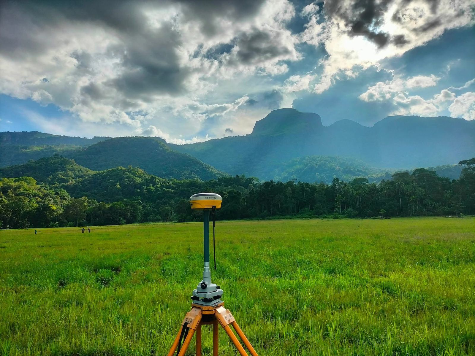
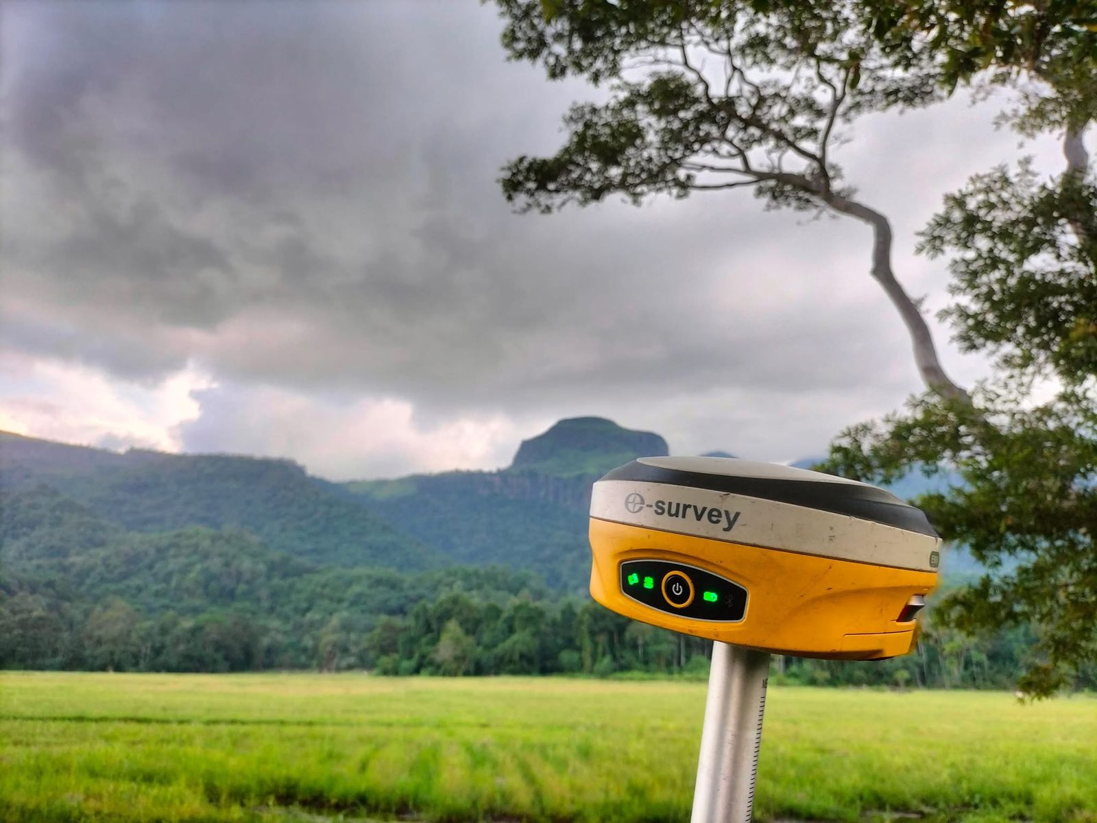
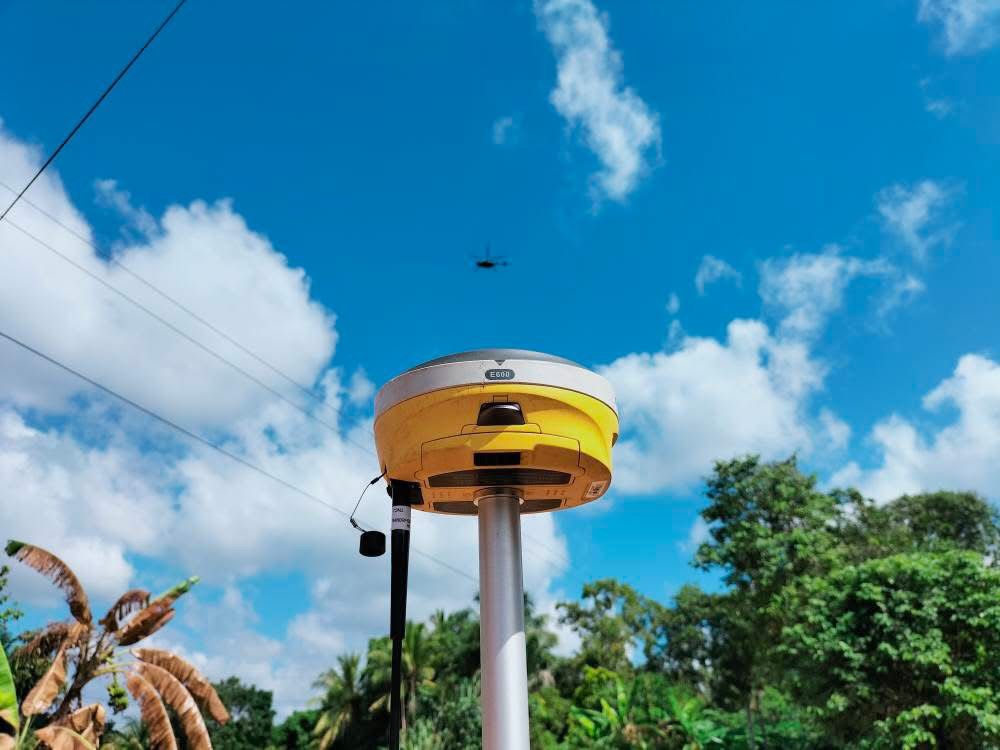
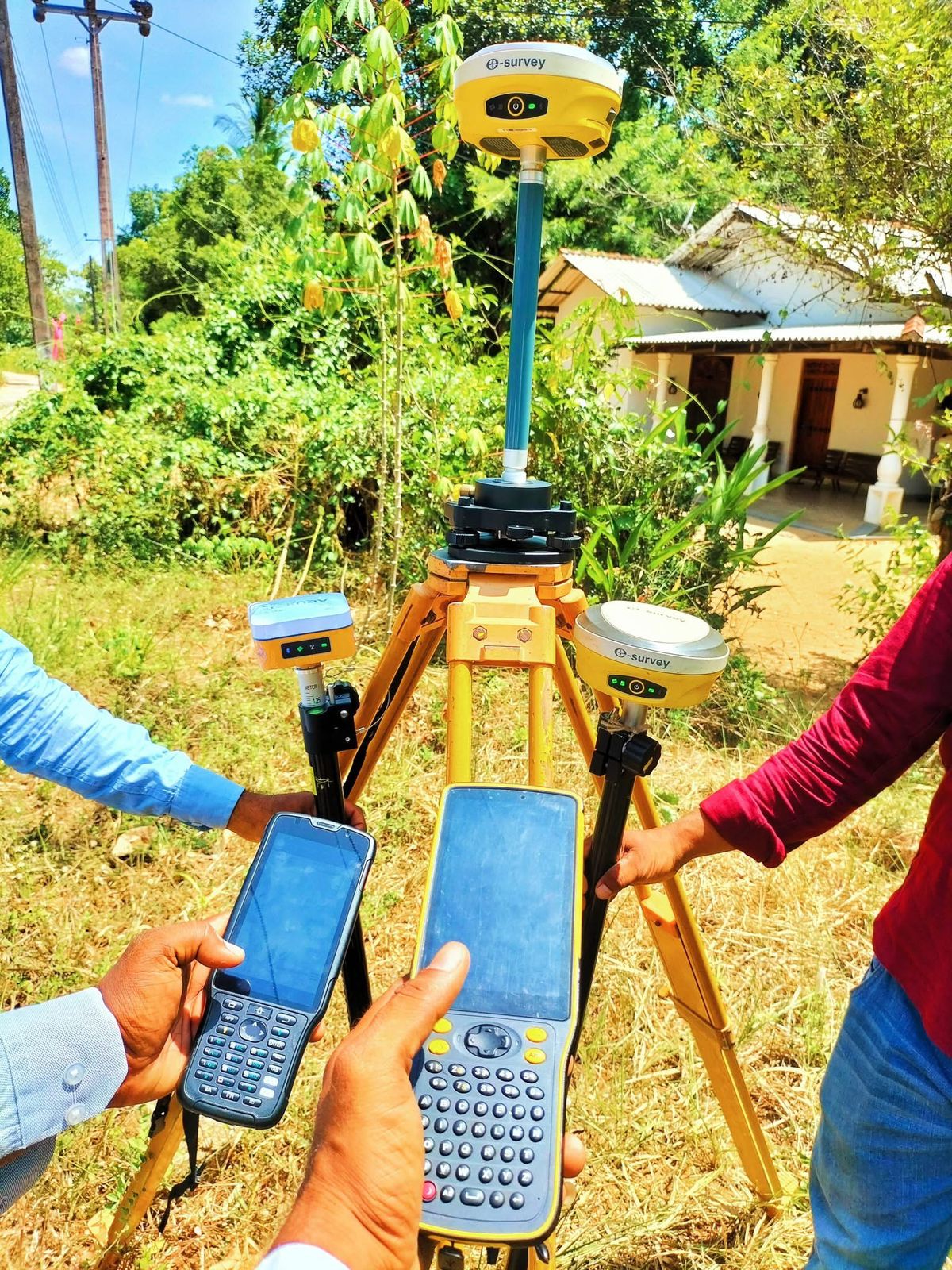
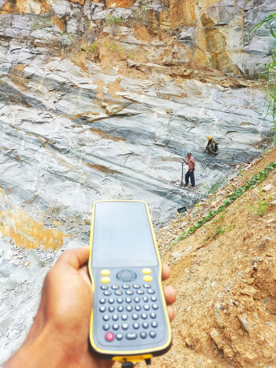
Technology-Driven Accuracy
Our commitment to accuracy is evident in our utilization of cutting-edge technology and equipment. Communication with our clients is key in understanding their needs and ensuring their expectations are met. Our goal is to consistently deliver reliable and high-quality results.
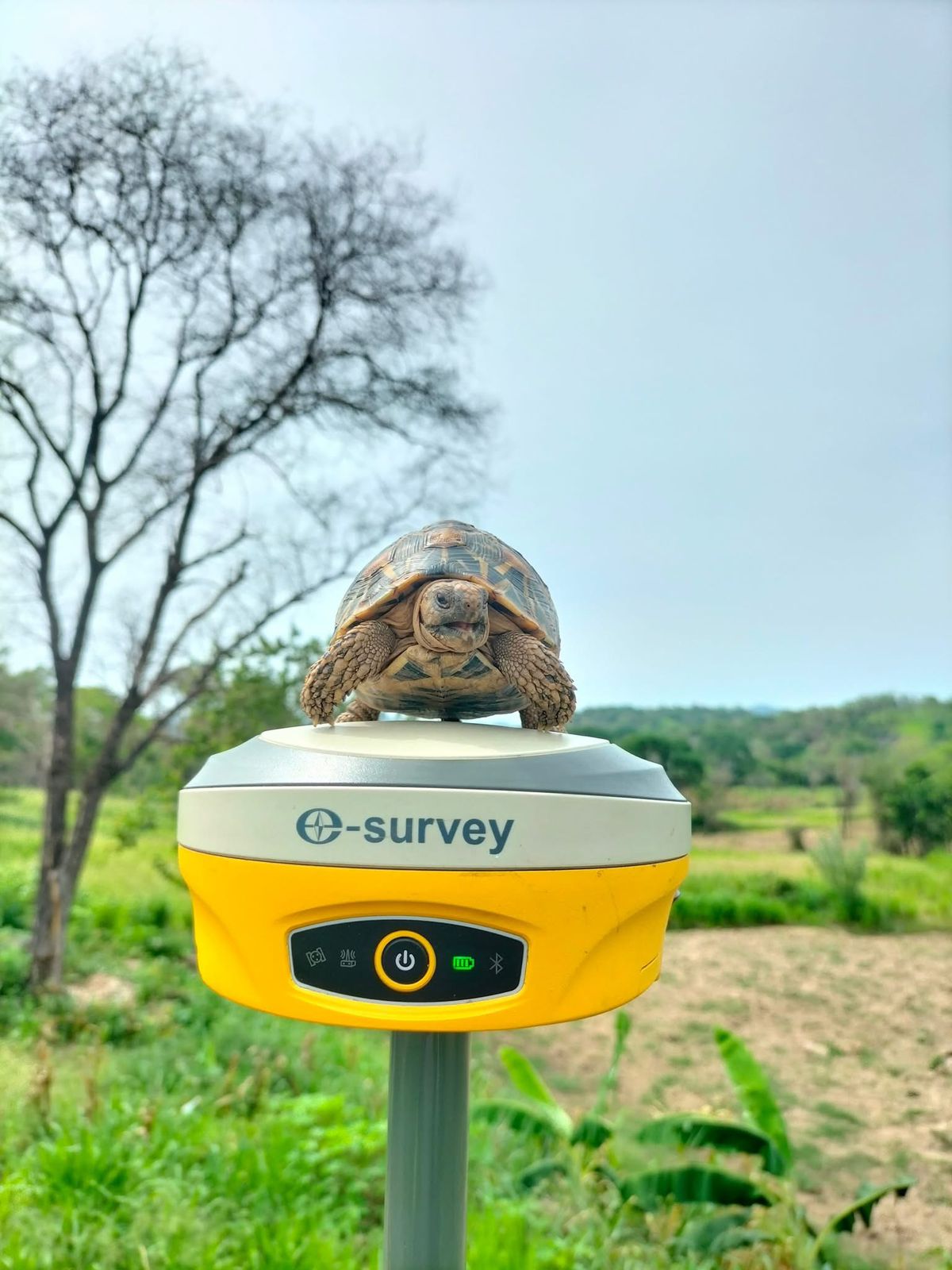
Modern Equipment
State-of-the-art surveying instruments
Precision Results
Millimeter-level accuracy guaranteed
Clear Communication
Regular updates throughout projects
Fast Turnaround
Efficient project delivery times
Why We Are Hired
For reliable boundary surveying assistance, it is best to hire a licensed and experienced professional land surveyor. We use the latest technology and techniques to accurately determine property lines and boundaries.
Licensed & Experienced
Our team of professional land surveyors holds all necessary licenses and certifications, bringing years of field experience to every project.
Advanced Technology
We utilize cutting-edge surveying equipment and the latest techniques to ensure accurate property line determinations and boundary surveys.
Comprehensive Reports
Receive detailed survey reports that can be used for legal purposes, property transactions, and construction planning with complete documentation.
Full Insurance Coverage
We maintain comprehensive insurance coverage to protect both you and our team in the event of any unexpected incidents during the survey process.